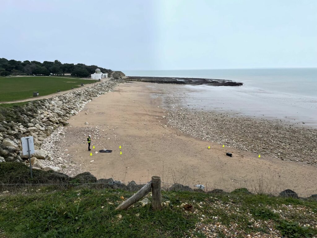
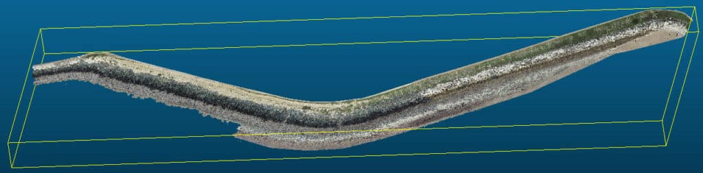
Until now, monitoring of rockfill dykes has been carried out mainly on an empirical basis (comparison of photos taken from the sea, inspection from the crest of the dyke, etc.). With A2D's service, we now have access to a 3D model of the dyke, enabling us to instantly determine its slope at any given point, compare rockfill movements between different photogrammetric surveys (by drone, bathymetry or other means), and offer other functionalities such as the display of photos at a requested point. This tool is also ideal for monitoring structures that are beginning to show signs of ageing, such as rockfill subsidence, slippage at the foot of dikes, etc. In the event of a storm, a new drone pass can quickly provide factual evidence of the structure's movements, enabling intervention to be programmed if necessary.