A sensor’s measurement is the first characterization of the environment we seek to analyze. A long chain of processing steps transforms it into intelligible meaning for the human expert. Gradually, Measurement will be translated into Data, before becoming Information… with a view to Decision-making.
According to information theory, entropy decreases throughout this chain, as intelligibility increases. The semantic value of symbolic data requires special treatment. At A2D, we master the precision-certainty dilemma at every stage of our process, in order to optimize the quality of information production.
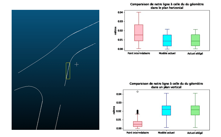
For the final decision we bring you to be characterized by reliability indicators, we need to take into account the relevance of the initial information sources, as well as the impact of the processing tools at each stage of the production chain.
Capturing data
The sensor is the first device in the measurement chain. In most cases, it translates the measurand value into an electrical signal.
The space around us has a three-dimensional structure. A georeferencing system, either global or local, is then attached to the measurand.
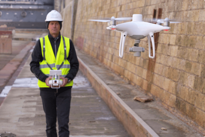
To guarantee the optimum quality of your raw data according to your needs, our Telepilots and Analysts define an acquisition protocol (flight dynamics and instrumentation quality) adapted to your requirements; all acquisition operations comply with current regulations.
Our dedicated technical flights
– Use of sensors with a definition adapted to the required precision,
– Centimeter positioning in your geographic coordinate system,
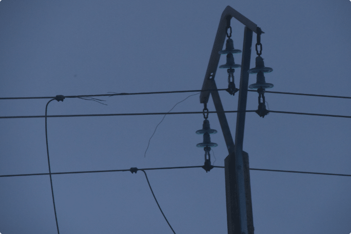
– Consistent data capture in hard-to-reach areas,
– Design and/or compliance with your Risk Prevention Plans.
Have you already acquired
your data?
Signal, image, video, LIDAR, … We know how to import and analyze them!
Give us your data and describe your acquisition protocols