Local authorities are involved in the process of creating and updating the simplified street plan (PCRS – Plan de Corps de Rue Simplifié) for their areas.
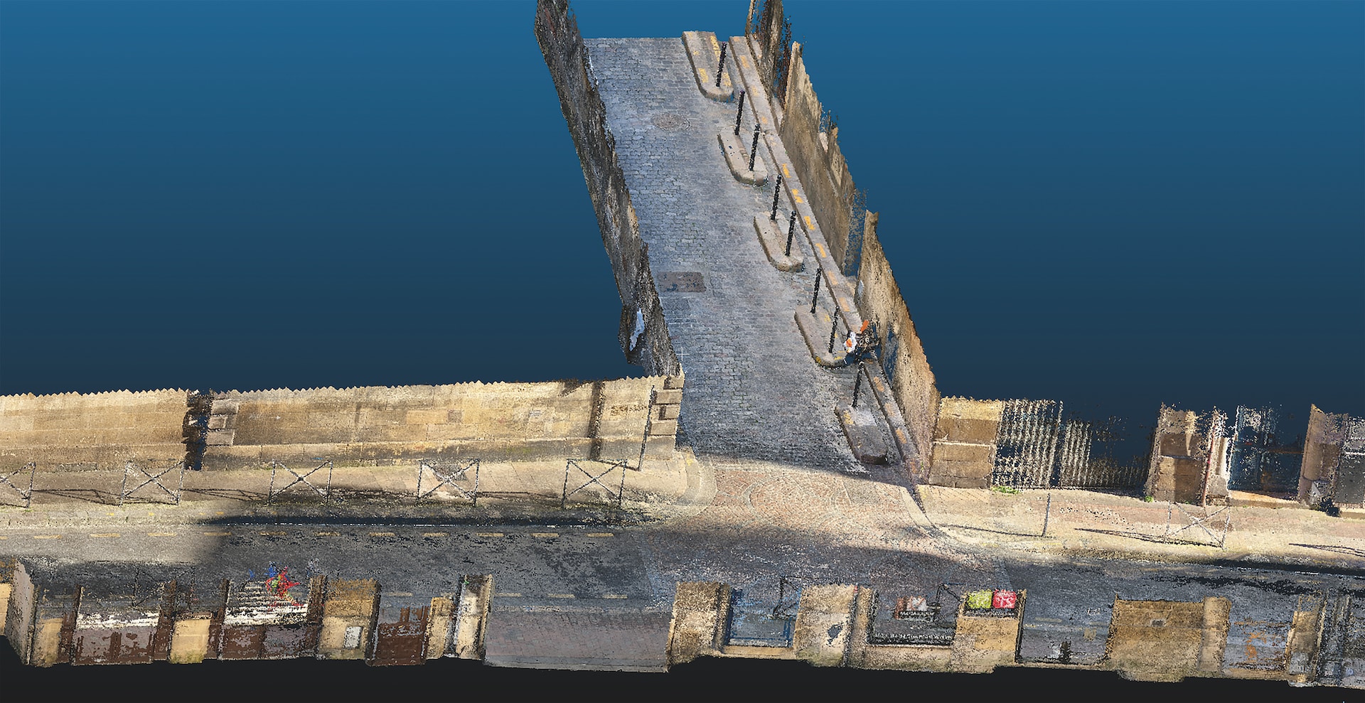
Street plans are acquired through a dynamic terrestrial survey (MMS – Mobile Mapping System) using laser and images.
Although data captures are quick to carry out (within a few days), data verification and delivery of the PCRS rendering take several weeks or even months.
That is why maintenance and new works departments for roads and urban infrastructure in metropolitan areas want to know:
How to quickly obtain a very simplified plan while waiting for the surveyor’s report
How to verify that a point cloud is correctly aligned
How to position changes that have occurred between two acquisitions of 3D clouds (works, damages, etc.)
Client benefits
Having an interim product within a few hours, while awaiting the time-consuming creation of the PCRS.
Checking MMS data to verify the alignment of point clouds acquired by their appointed surveyor prior to modelling.
Enabling detection of changes between two MMS acquisitions.
Our solution
A2D has developed algorithms that allow:
Automatic extraction of pavements from 3D point clouds of urban neighbourhoods obtained by LIDAR during MMS acquisitions.
Modelling of kerbs, water lines, etc., in the form of polylines.
Characterisation of polylines (length, slope, etc.).